Bukit Puaka, Pulau Ubin, Singapore, 75 m

Route: from Pulau Ubin Ferry point
Starting elevation: 0 m
Elevation gain: +75 m
Hike distance (one way): 2.2 km
Click here for GPS track
In the throes of the pandemic, with foreign travels almost impossible, we scratched the itch of our wanderlust by crossing over to Pulau Ubin for our first 'overseas' trip for almost half a year. From Changi Village Ferry Terminal, a SGD4, ~10 minute ferry ride on the bumboats, with appropriate 'social distancing', brought us to Pulau Ubin...
In the throes of the pandemic, with foreign travels almost impossible, we scratched the itch of our wanderlust by crossing over to Pulau Ubin for our first 'overseas' trip for almost half a year. From Changi Village Ferry Terminal, a SGD4, ~10 minute ferry ride on the bumboats, with appropriate 'social distancing', brought us to Pulau Ubin...

From the ferry jetty, turn left and walk to the village. There are clear signage and maps in the village and along the way. Make towards 'Puaka Hill', which according to the signage is about 2.1 km away, along good tarred roads.


Cycling to the foot of Puaka Hill is also possible with plenty of bicycle rental shops around the village. Look out for the chinese opera stage (See picture below), take the road to the right of the stage, which leads away from the village...

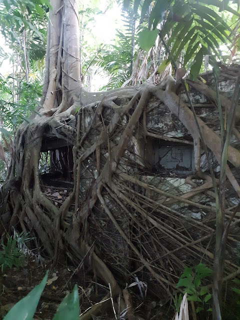
Some of the interesting sights along the way, a Banyan tree...

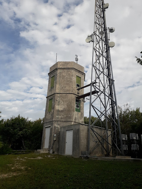
Eventually, you will reach the foot of the hill...


At 75 m high, it is the highest point of Pulau Ubin and also the high point of East Coast GRC (A worthy 'East Coast Plan' given the 2020 Singapore General Election is a week away).
To be fastidious, the real high point is ontop of a piece of rock...

We enjoyed the solitude for a while, taking in the breeze, watching a couple of roosting white-bellied sea eagles across the waters of the quarry, below descending.
Comments
Post a Comment